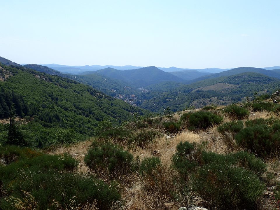
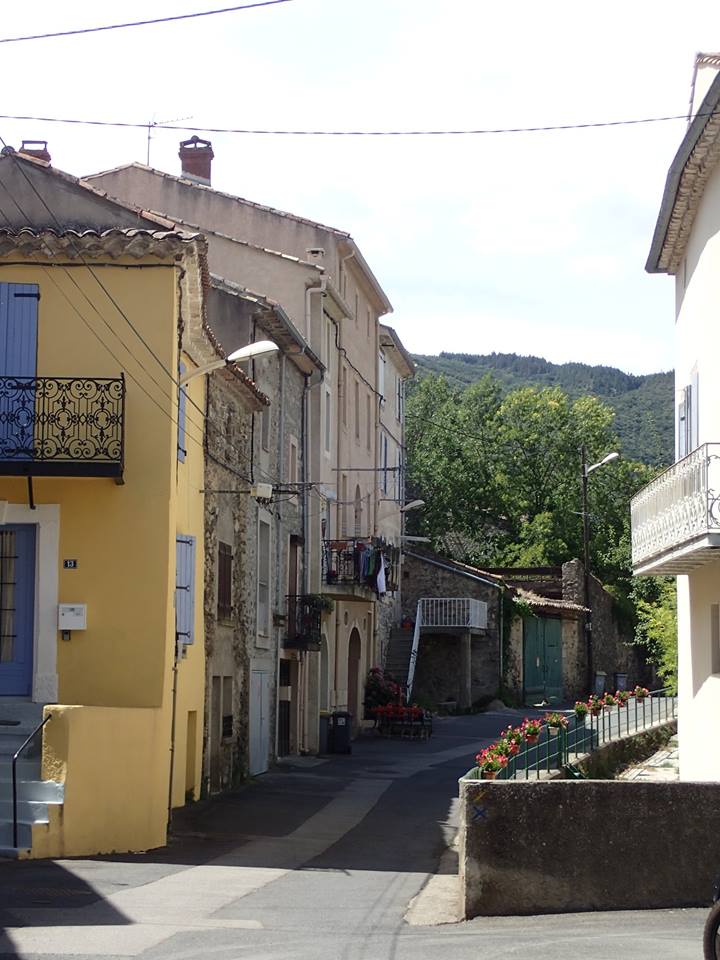
A beautiful morning walk on the Caroux today. Starting from Douch and heading up to the refuge on the GR7 red/yellow route which is also marked yellow as far as the hut. At the refuge turn right onto the little blue spot route and enjoy a different circuit. It takes you at first through trees and onto an open view of the valley before going down a rocky path to reach a stream. Cross the stream and go up to the little track at the top turning right. Follow this track up to reach a small path leading left to a beech tree and some rocks. This little path decends to reach the GR7 coming up from Heric on the col. Now turn right and return to Douch on the GR7. Good parking.
Rosis. Le Tour du Mouscaillou. 5km. 2h. blue in parts. This is a most delightful ramble. It smells deliciously of sweet, warm pines and honey scented flowers. The air is cool and the views are incredible. It just a favourite all time walk. Great for dogs with lots of water. Park at the col de Madale and walk the short distance to the next junction heading west. Turn down this little road and over the pretty bridge. Now keep heading up to the top of the hill. Someway past a small track on your right you will see some blue dots on the trees. Take this grassy path down to the track and then left up the track to the top of the hill, just past the house. Here you will see that the blue dots take you up through the beech woods to and down to a stream. Cross the cross, it was empty today. Then down a small overgrown path alongside a high wall to reach the small river. Don't cross the bridge, go over the track in front of the Chateau and then cross the tiny flat stone bridge and up to the road. Cross and go through the hamlet of Rosis. The little path will take you through the trees to reach the wonderful views at the col d'Aussieres. We often picnic here. You can do a fe different tracks here. I now go over to Massaral and Mouscaillou, the two rounded tops which were long ago volcanoes. The views are simply stupendous from up here. I tend to retrace my tracks and then take the wide track to my left that goes south down towards the road on zigzags through the forest. As you pass a field on your left watch out for the forest to change from pines to chestnuts. You will now see that here is a little path through the chestnuts that follows a low stone wall (on your left) It's marked with blue dots once again. The little path comes out onto the path that is marked yellow/red and blue too. Turn right and follow it back to the car park. It's a wonderful walk, full of magical forest, twinkling streams, flowers, butterflies, red squirrels, deer and the best views you can imagine. Just very lovely.


Le Saut de Vezoles from the col de Cabaretou above St Pons. 6km/GR7 (red/white+yellow) 1.30h . This is normally a lovely cool, easy walk that is mostly level, through the woods to the lookout but of course today it was one of the hottest days of the year and it was even 28 up there but that was better than 38c lower down. The walk starts by parking at the picnic area on the col and following the GR to reach a yellow route to the Lac de Vezoles. The walk is mostly along a forest track with views of the valley below from time to time. Turn for the lookout and after a short distance through pretty heather covered slopes you will come to the wonderful view of the waterfalls from the lookout. There is a font along the way by in was mostly empty so take water for your dog if hot. This walk can be extended to include the yellow circuit up to the lake adding another 4km to the walk or a circuit of the lake as well which adds another 9km to the distance. Returning the same way or you can take the forest track opposite the view point.
L'Ermitage Saint-Etienne, St-Nazaire-de-Ladarez. (5km, 1.30H, blue). Our walk was slightly different as we took the easier but longer track back down. 8km 2H, but with great views all the way down that you don't see on the little path up. The walk starts by parking in the car park near to the church. This is also the start of the walk. Walk through along the edge of the park and you will be in the middle of the village opposite the little pizzeria. The walk the takes a small path at the end of the hoses to your left. Follow this little rocky path as it crosses between the track several times. The little path reaches some ruins that have a number of vans parked near them, here you descend to a junction and keep right following the blue markers. The route continues up quite steeply now until it reaches the track once again. Turn left to come to a parking area and take a small left turn that goes up to the hermitage. Wonderful views up here and a sweet little chapel. Now descend the same way. If you want to take our route with great views it's only a little longer and much easier on your knees. After the vans at the ruins you will come to the main track, turn right onto this a descend back into the village, there are several opportunities to return to the little path if you decide to but we liked it better for views.
Le Tour du Mouscaillou, Rosis. This is a simply beautiful walk in very peaceful surroundings with magnificent views. The walk is fairly easy and not too long, taking just two to two half hours. 9km. Mostly blue markers. We have done the whole walk before but made a variation on it today to take in some different views. The walk starts by parking in the parking area on the col de madale. Walk about 50m up the road towards Rosis and turn left down a small road to Le Luc. Cross a bridge and pass a track to your right, then look out as you walk about 50m beyond for a tiny grassy track down to a small bridge, the route is marked with small blue dots. Cross the bridge, keeping right ascend the hill to the house and turn right through the beech wood. Now follow this small track through the woods to Rosis. Just below the chateau you will come to a bridge across the stream, cross and take the path to reach the front of the chateau. Pass in front of the chateau and turn right to reach the road. Now cross the road and pass through the hamlet, taking a tiny path at the top that takes you along and stone walled route to the forest. Once you have walked to the end of this track you will reach the col d'Aussieres. (The main route continues down past the green water container and back up the hill via the col de vente vieille but we changed the route this time). Our route leaves the blue markers and makes a magnificent detour up the wide grassy path opposite to the top of the gently curved summit of Massaral and onto the rocky outcrops of the top of Mouscaillou. There are fantastic views up here of the Monts d'Orb, Caroux and over to Saint Gervais below. Now retrace your steps to the col and head left down the wide, zig zagging track to reach the road. Turn left onto the road and the car park is about 100m beyond. Super walk, with no difficulties.


Chemins de Haut Languedoc, Caroux. no 7. Great book.